
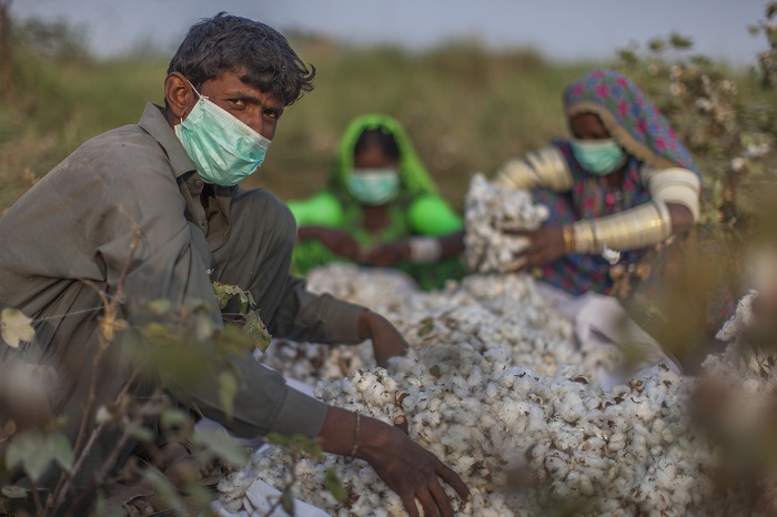
Unmanned aerial vehicles (UAV’s), more commonly referred to as drones, are not new technology. They have been used commercially since the early 1980’s, but in recent year’s practical application of this technology has grown rapidly across a number of industries, with agriculture playing a key role in this expansion. With the global population expected to reach 9 billion people by 2050, it is anticipated that agricultural productivity will need to increase by approximately 70% over the same time period, in order to meet demand. With this in mind, agricultural producers are looking at ways to produce food and increase productivity in a sustainable manner. Drones are increasingly being considered part of the solution. So how can UAV’s be beneficial for the agricultural industry and how do they differ from existing methods?
Collecting accurate, georeferenced data is important for many aspects of agricultural production, such as crop surveillance and ensuring the efficient application of pesticides and fertilizers. Some examples of traditional methods used to collect this type of information, include:
- Utility vehicles – e.g. for measuring plant biomass, soil sampling
- Satellite imagery – e.g. colour and near infrared bands to produce vegetation indices such as Normalised Difference Vegetation Index (NDVI)
- Combine harvester – used to produce yield maps
- Handheld devices – for soil sampling (e.g. monitoring nutrition and pH levels)
- Stationary systems, such as moisture probes and weather stations
UAV’s are emerging as a cost-efficient way of collecting agricultural data, with advantages over these traditional forms. Unlike satellite imagery, drones can fly below cloud cover and can meet the need for increasing spatial resolution and repeated, controllable measurements for applications such as monitoring soil properties and crop health.
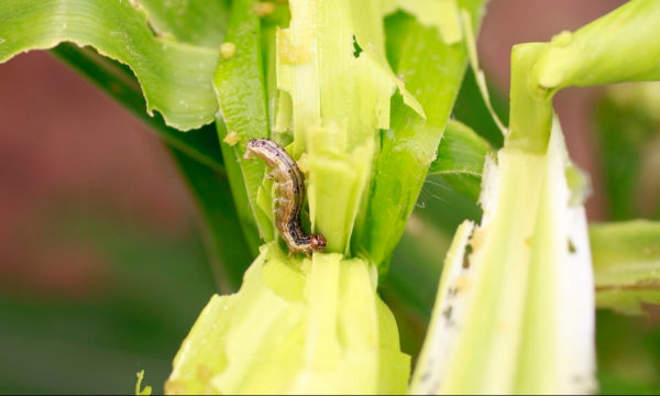
In the context of precision agriculture, drones are now being used across a spectrum of applications. For example, at the start of the crop cycle, they can produce 3D maps to enable soil analysis, which can help to determine planting patterns. The use of distance measuring equipment enables the drone to spray the correct amount of liquid onto a crop, allowing rapid and accurate coverage. The high resolution of the images produced, enables the identification of problematic areas within the crops, allowing for targeted treatment at an early stage. Drones that have thermal sensors can help to identify which areas of a field are dry and once the crop is growing, it can allow the vegetation index to be calculated, which describes the relative health and density of the crop, as well as the amount of heat or energy the crop emits.
Most of the practical applications of drones have so far occurred in Europe, Japan, Australia and Canada, where, until recently, there were fewer airspace regulations, compared to the United States. In 2016, Part 107 was implemented in the US, updating the regulatory framework, essentially separating the small UAV rules from those for manned aircraft. This is considered a major development for the adoption of UAV technology in the US.
Beyond the usual barriers to widespread adoption of UAV’s in all industries, including the safety of drone operations and privacy issues, the main concern within agriculture is the type and quality of data that can be captured. However, the industry is pushing for more sophisticated cameras and sensors and is keen for drones to be developed that are highly automated and require minimal training. Questions have also arisen regarding the inability of UAV’s to fly in adverse weather conditions and the cost of the image processing software that's required. In addition, most drones currently on the market have a flight time of between 20 mins and 1 hour, which can limit the area it can cover in one flight. Drones that offer a longer flight time and range can be relatively more expensive.
In any case, UAV’s are set to become one of the key technologies of the future. As drone technology develops, it is anticipated that the cost of these machines will be reduced, and limitations such as range and flight time will be improved. In agriculture, an active area of UAV research that is currently underway involves swarm technology, using fleets of autonomous drones that can, collectively, tackle tasks such as crop health monitoring, delivering seed and fertilizer and even pollinating crops – so watch this space!
The CAB Abstracts database, available to subscribers, contains over 550 records on unmanned aerial vehicles.
Useful links
How are Precision Agriculture Professionals Using Drones in 2017? – Free to download (sign-up is required)
White Paper – UAV’s for UK Agriculture: Creating an invisible precision farming technology
Agricultural Robots and Drones 2017-2027: Technologies, Markets, Players
1 Comment
Leave a Reply
Related News & Blogs
Highlights from 2025: Most read blogs
As 2025 draws to a close, we’ve reviewed the numbers to highlight this year’s achievements on the CABI Blog, from pest risk reduction and innovative agricultural initiatives to addressing crop loss and earning global recognition. Revisit this year’s to…
16 December 2025


The use of drones in agriculture is the trendy one. Through it, one can easily realize what the planting pattern is by capturing a high quality cycle map and can get the desirable result from planting. Thanks to author for sharing a valuable post required much information.